


Leveraging drone technologies for a greener future.

Multispectra vegetation data, and site monitoring.

Photogrammetry Mapping.

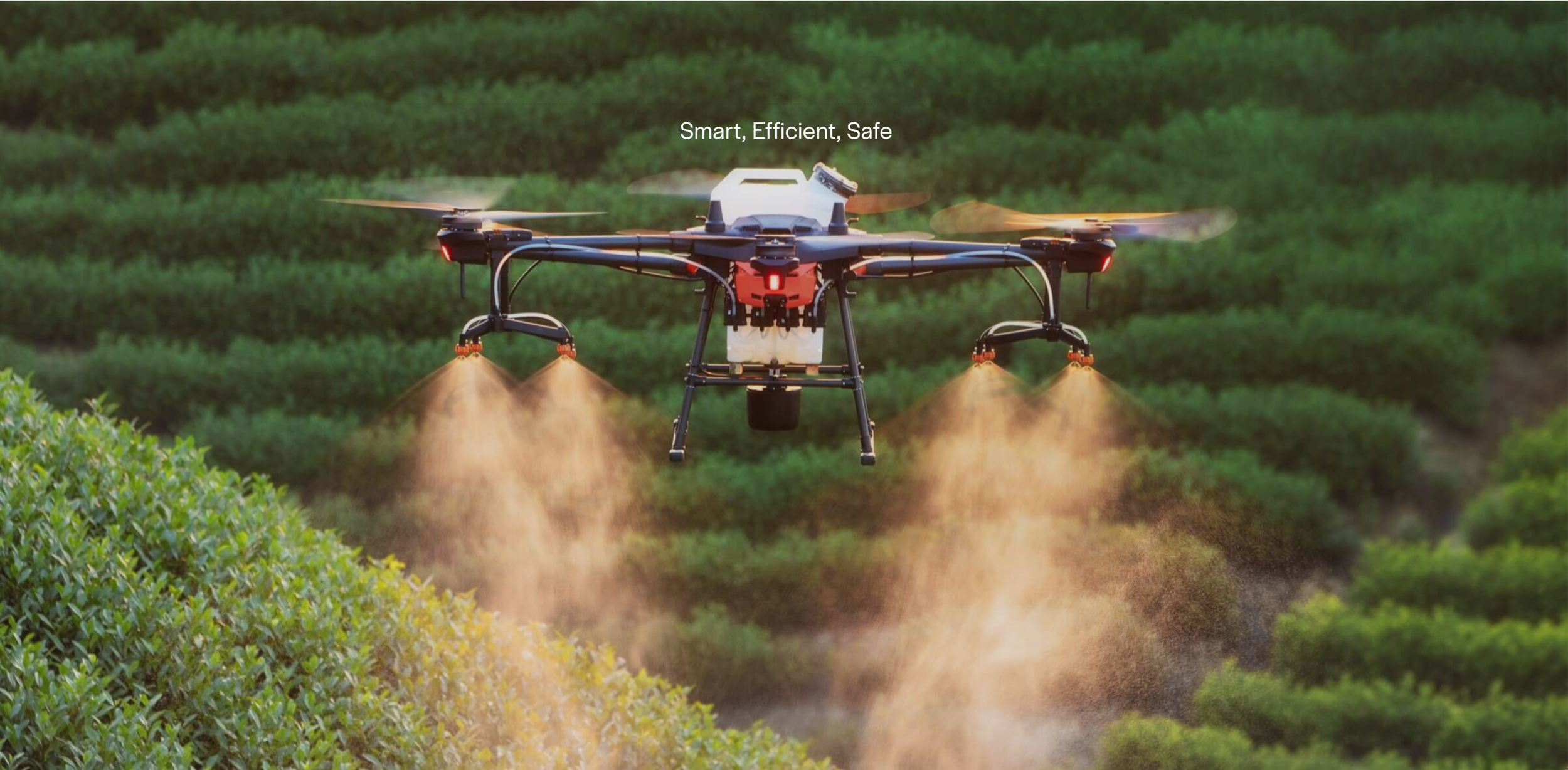
Aerial granular spreading, seeding, and spraying.

Restoring the worlds most valuable ecosystems
Team

Matthias Kuhn
Commercial fixed wing aircraft Pilot and adventurer, Matt Kuhn provides invaluable insight into meteorology, air law, real time and planning compliance, and on the ground logistics support. His passion for aquatic and tropical terrestrial ecosystems, coupled with his drive to preserve them by finding workable solutions to some seemly impossible challenges situates Matt at the very core of the Airtec’s vision.

Dr Lars Nauheimer PhD.
As plant scientist with research experience in systematics, biodiversity, and evolution, Lars Nauheimer is passionate about using novel drone technologies to restore natural ecosystems and protect existing diversity. His knowledge of experimental design, data handling and analysis, statistics, GIS and bioinformatics help make Airtec’s solutions efficient and output oriented.

Ben Neale
International award winning conservation photographer, and founder of Gallery Earth, Ben has dedicated his life to conversation of the worlds wild places and has turned his attention to supporting on the ground, scalable, and effective rehabilitation projects.

Find out how we can support your project.